How to track car location by license plate
Licence plate can uniquely identify the car, the owner of the car and it's history.
It is obvious that government and its agencies are using certain technology to track citizens and their cars to enforce law and prevent or investigate crimes.
For ordinary people such cutting edge technology could be also very useful, so in this article we explain the technical possibility of locate car using the plate licence only.
Who does issue and manage the license plates ?
In the United States, license plates are issued by the department of motor vehicles, an agency of the state or territorial government, or in the case of the District of Columbia, the district government.
For the other way - in the United Kingdom Vehicle registration plates are the mandatory alphanumeric plates used to display the registration mark of a vehicle, and have existed in the United Kingdom since 1904. It is compulsory for motor vehicles used on public roads to display vehicle registration plates.
Within the UK itself there are two systems: one for Great Britain, which dates from 2001, and another for Northern Ireland, which is similar to the original 1904 system. Both systems are administered by the Driver and Vehicle Licensing Agency (DVLA) in Swansea; until July 2014, Northern Ireland's system was administered by the Driver and Vehicle Agency (DVA) in Coleraine, which had the same status as the DVLA.
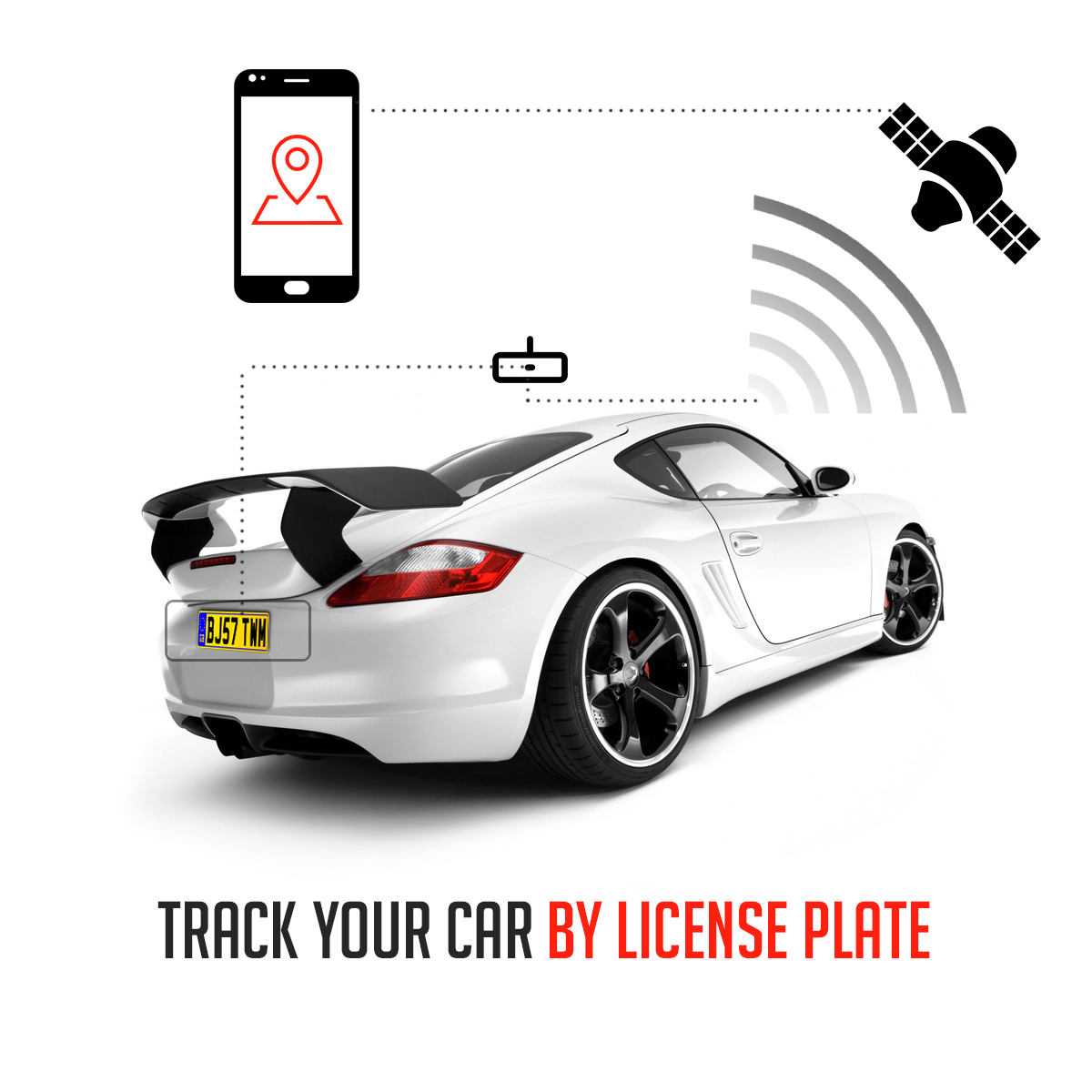
Is it possible to track vehicles by the license plate ?
Yes it is technically possible but you have to understand that several conditions must be fulfilled.
There are even two options that will I allow you to track cars by a license plate.
Option 1. Static license plate assignment and active GPS Tracking
Option first is based on the static license plate mapping to active GPS Devices inside cars.
In this scenario we assume that you have access to a license plate database and you can map a plate number to unique GPS tracking identifier.
Each tracked car have to be equipped with an GPS Receiver (like hardware tracker or smarphone) and Internet sender. Each time when GPS Coordinates are received they are sent to spysat servers.
What do you need:
- Spysat Account
- Hardware tracker or Android smartphone
- Licence plate database set
Option 2. Passive tracking using stationary surveillance points (CCTV)
Passive car tracking method is using the stationary points like surveillance CCTV cameras on the roads, highways and city monitoring video streams .
In this scenario we are using the CCTV cameras located on the roads, highways and CCTV points and we use the image recognition and text recognition to save the time of passing car near the camera (passing through)
Assuming that we know the exact location of the camera and the time stamp (hour when the car has passed the camera) we are able to recreate the tracking path of any movable object like car track bike etc.
to enable this method you have to :
- Have an access to as city CCTV monitoring
- Have the the technology of text recognition on the video frames to match the objects from license plate and translate them to the known location
Option 3. Mixed solution (of the two above)
There is also the third option which combines the advantages of the two methods listed above. In this scenario we are combining the active GPS tracking of the device and spysat server as hosting (option 1) with the stationary points mapping method and text recognition of the licence plate number (option2)
If the active tracker device fails for example lost GPS signal (when enter the tunnel or Subway) we still will be able to track it using the stationary points of CCTV.